History
Our History
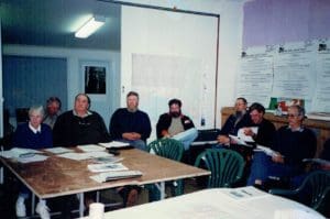
The first meeting of the LCDC was held in the Alex Bridge Hall on the 16th of October in 1991.
The Committee was then discussed and it was decided that:
“…the committee needed to consist of people with a variety of land uses and be widely representative of the whole area.”
The original focus of the group (as per early 1992) was to look at the following 10 issues in the region:
- Source of possible nutrient enrichment of the river in this district.

- Wind erosion.
- Drainage.
- Native flora and fauna.
- Over regulation of farming.
- Appropriate and responsible use of chemicals.
- Effect of Blue Gums and other introduced trees on the water table.
- Soil Salinity.
- Presence of heavy metals especially cadmium.
Over the years the LCDC worked on some common priorities:
- More specific and localised soil type identification.
- Priority issues for the group’s region and vision.
- Land clearing and Farm regulation.
- Health of the Hardy inlet.
- Need for a usable data base/reference collection.
- Water quality and water sampling.
- Our region being a food bowl.
- Feral pigs.
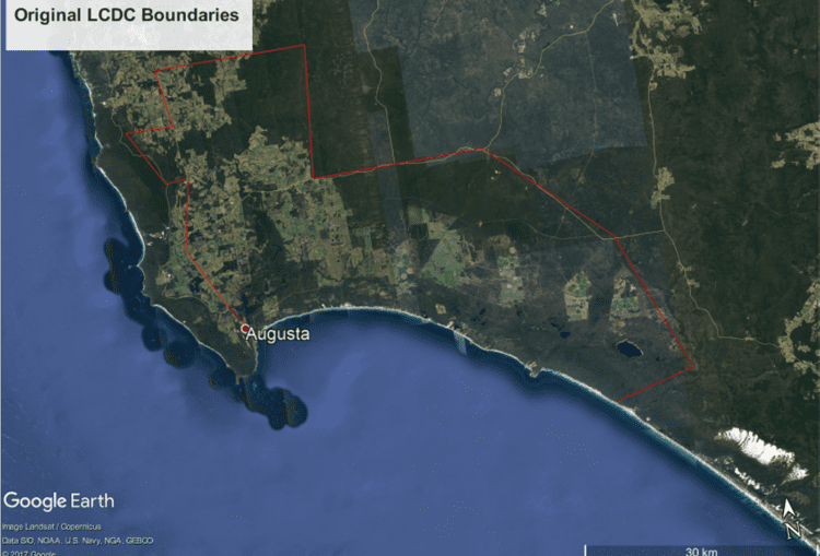
The boundaries were changed in 1998 to include the coast north of Augusta.

Our district is now bounded by the South-West coast from Redgate beach to Augusta, and Eastwards into the Shire of Nannup. Including all of the Scott River and bounded in the East by the Donnelly River.
