Our Catchment
Our district is bounded by the South-West coast from Redgate beach to Augusta, and Eastwards into the Shire of Nannup. Including all of the Scott River and bounded in the East by the Donnelly River.
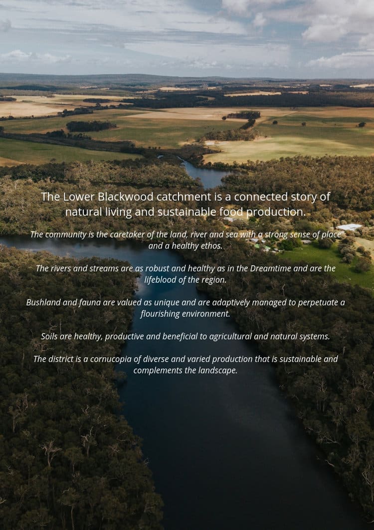
The majority of our district is made of the “Lower Blackwood Catchment”, a group of tributaries which drain into the lower reaches of the Blackwood River.
Just before the Blackwood River drains into the Southern Ocean at Augusta, the water pools in what is known as the Hardy Inlet. This estuarine system is highly valued, ecologically as a breeding habitat for freshwater fish species and migratory birds, and socially as a summertime recreation area for holiday makers.

Towards a Sustainable Lower Blackwood Region
A whole of landscape perspective
In 2017 the Lower Blackwood Catchment LCDC engaged consultants, Associate Professor Laura Stocker & Dr Gary Burke, to conduct an action research mapping project that would provide us with an overview of the past & current status the district and its community. The information gathered from this action research has given us an amazing insight into our region and, importantly, points to where we could potentially go in the future in terms of sustainable food production & consumption.
The Full Report
Rural communities and agriculture are now more than ever experiencing increased economic, environmental and social pressures. A response to this situation requires a holistic approach to sustainability in the catchment, looking at all aspects of the landscape.
The project’s overall aim is to improve understanding of the past and current status of the district and its community, and to create a “Whole of Landscape” framework for better natural resource management outcomes.
Open the viewer to read the full report.
Google earth Interactive Map
Material from interviews with community members have been categorised, analysed and excerpts placed into Google Earth balloons to create a fascinating story-map about the Lower Blackwood District.
If you would like to access this interactive map then get in touch, we’ll be happy to share it with you.
